
Walk an East Haven Street by Address
A useful street directory starts with one exact address, not a broad name list. Keep the number, street spelling, unit, ZIP, and any old label you already know. Then let the parcel identifiers carry the search across systems. The goal is to separate the person or household clue from the property record, the election record, and the historical snapshot.
- Run the number and street through East Haven Property Record Cards, and note the owner, MBL, unique ID, use, zone, and sale or permit entries.
- Open the same parcel in the GIS portal, record its shape and adjacent identifiers, and keep the map layer date.
- Use the address and parcel keys to check the Town Clerk deed index, maps, liens, and recorded transfers.
- Use the street and address range in the Registrar’s polling geography, then keep any voter result within its election purpose.
- For an earlier household, compare a dated directory, newspaper, obituary, deed, probate row, or permit rather than treating the current card as a time machine.
The address-to-owner path is strongest when the MBL or unique ID remains attached to every note. A street name alone can cross a town line, carry more than one ZIP, or appear with a different legal description in an older deed.
East Haven Assessor Fields for Street Searches
The East Haven Property Record Cards portal is built for parcel discovery. Property Use choices can narrow a query, while Owner Name, Location number/name/unit, Street, MBL, Unique Identifier, and Condominium Complex connect a name to a place. Sales Search adds property type, sale-date and price ranges, acres, zone, design type, living area, year built, rooms, bedrooms, and baths. The portal’s result columns include street, number, unit, name, unique ID, MBL, use, acres, zone, buildings, and complex.
Search one category at a time when possible. A last-name-only owner search can reveal multiple parcels, so the next step is to compare the street, number, MBL, and unique ID. The card may show a mailing block, but that is tax-record information. It does not list every person connected with the parcel, and it does not by itself establish a current household.
| Field | Portal choice | Street-directory use |
|---|---|---|
| Location | Number, street, unit | Find a situs parcel and separate units |
| Street | East Haven street selection | Browse addresses along one road |
| Owner name | Last and first name | Check an assessed owner association |
| MBL | Municipal block and lot | Bridge card, GIS, tax, and deed notes |
| Unique identifier | Parcel-specific ID | Keep the same parcel key through updates |
| Use or condo | Property-use or complex choice | Distinguish parcel type and unit context |
The East Haven Assessor page explains the office’s public property, personal-property, motor-vehicle, Grand List, and revaluation roles.
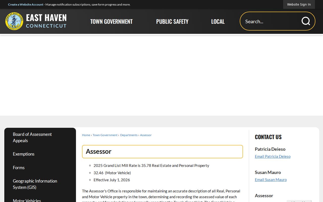
The office page is useful when an online card lacks a field or when a question belongs with a field card rather than a broad web search.
East Haven GIS Turns Streets into Parcels
The GIS portal supplies the map layer that a street directory needs. Search by name, house number, street, MBL, or unique ID, then open the interactive map. Parcel and label layers show the base geometry. Zoning, easements, recreation areas, spot elevations, utility poles, sales symbols for Grand List Years 2021 through 2025, original tax maps, and aerials from 1934, 1990, 2004, 2008, 2012, 2016, 2019, and 2023 add context.
For a street walk, begin at the target parcel and use select or Multi Select on adjacent polygons. Record each MBL and unique ID before opening the matching card. The map also supports print, measure, buffers, drawing, and PDF output. A buffer helps frame a radius, but it is not a legal definition of who counts as a neighbor. Parcel geometry is spatial evidence, not a household roster.
The East Haven GIS search reports parcel maps updated in June 2025, property information updated nightly, and approximately 11,310 parcels.
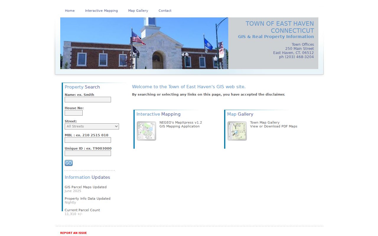
The update notes matter. A current map can be newer than a printed assessment card, while an old deed can preserve the earlier legal identity of the land.
- Parcel
- A mapped unit of land joined to an identifier, assessment record, and legal description.
- Situs address
- The municipal location of a parcel, distinct from where tax mail is sent.
- Plat or map
- A recorded drawing that can show lots, boundaries, roads, or subdivision context.
- Criss-cross directory
- A historical address-to-name source that can add former occupants to a property trail.
East Haven Street Addresses: Situs and Mailing
One East Haven property can carry several address forms. The Assessor’s situs identifies the taxable parcel. A mailing block can route tax correspondence to an owner elsewhere. The Town Clerk’s deed may use a legal description, map and lot, subdivision reference, or an older street form. USPS supplies a delivery label, while a voter district assigns polling geography. A street directory should preserve these labels instead of forcing them into one “current address” field.
The sample 60 Brown Road card displays a situs, MBL 110 1125 004, unique ID M0015060, and a volume/page link to the 2017 warranty deed. Those keys make it possible to compare the card with a deed and map. They do not show every occupant. If an old number does not find a result, search the legal description, map or lot, prior owner, or neighboring parcel.
Address types also explain why a postal result can disagree with a municipal record. East Haven uses both 06512 and 06513. In particular, 06513 may display New Haven as the postal city even when an official East Haven document gives the situs. Verify the exact address through USPS, then use the Assessor, GIS, and Town Clerk for the municipal and legal sides.
Note: Keep situs, mailing, postal, and legal-description fields separate when one East Haven street produces different address labels.
East Haven Records Available by Street
A street directory becomes useful when each record set has a clear job. The Assessor and GIS connect a street to parcels. Deeds and liens add recorded legal events. Tax searches add billing context. Building and Planning offices may hold permit or land-use records. Voting geography maps address ranges to polling places. Historical directories and newspapers add earlier people, names, and place labels.
| Address record set | Keeper | What it shows | Access |
|---|---|---|---|
| Property Record Card | East Haven Assessor | Owner, situs, MBL, value, building, sales, permit summary | Online and office field cards |
| Parcel GIS | East Haven GIS | Geometry, adjacent parcels, zoning, aerial, environmental layers | Interactive public viewer |
| Deeds, maps, liens | Town Clerk / SearchIQS | Grantor, grantee, legal description, book/page, transfer | Index, images, vault, copies |
| Tax bill | Tax Collector / MyTaxBill | Account, bill year, type, tax ID, status | Online search and office route |
| Polling geography | Registrar of Voters | Street, address range, polling place, district | Public PDF and local office |
| Building or zoning file | Town departments | Permit, project, zoning, or land-use context | Department request; live scope varies |
The systems chain through identifiers, not through a promise that every source lists the same people. A card name may be an owner. A deed name may be a party to one transaction. A directory name may be a former occupant. A voter result may be a current election record. The source label is part of the result.
Note: A street result is only as strong as the identifier and source purpose attached to it.
East Haven Street Deed Index
SearchIQS provides East Haven’s grantor and grantee index, maps, trade names, and image options. The search screen accepts Party 1, party behavior, From and Thru dates, document group, document description, town, book/page, instrument number, and case number. Party names are entered last name first. Partial names and an asterisk wildcard are supported, and the “ignore party type” choice can search both sides of a transaction.
The availability notes need care. The Town Clerk page describes special land-record coverage beginning in 1970 and December 29, 1975. The SearchIQS sheet lists index-only land records for 1976 and index/images from 1977, while the help page describes record-book images beginning August 16, 1972. Maps are listed from January 1, 1892 and trade names from February 10, 1977. These early descriptions conflict, so an older street result should be confirmed with the Town Clerk’s book and page.
A guest can search and view watermarked images. An account is used for download or print, and the East Haven page displays $2 per image. The Town Clerk schedule lists $1 copies per page, $2 certification, and other map or filing charges. Keep the index number, recorded date, legal description, and source URL in the note so a later copy request is precise.
Note: SearchIQS coverage is an access clue, not a reason to discard an older deed; the Town Clerk vault is the fallback.
East Haven Street Polling Geography
East Haven’s Voting Districts by Street PDF uses STREET, ADDRESS#, POLLING PLACE, ADDRESS RANGE, and VOTING DISTRICT columns. The range matters because one street can be split across districts. Search the exact number, not only the street name, then compare the result with the state voter lookup and the local Registrar. A polling place proves election geography, not ownership or a complete household.
The statewide system serves all 169 Connecticut municipalities. Public information is narrower than the file requested by qualified users, and month and day of birth are protected. The full file costs $300 and requires a permitted election-related, scholarly, journalistic, political, or governmental purpose. Its request form bars private or commercial use, harassment, advertising, solicitation, sale, and marketing. Street-level work should therefore use the public district map and a specific lawful lookup, not a casual block roster.
The Judicial Branch property-address search is a separate address tool. It accepts a town, optional street address, ZIP, property type, case status, and case type for specified civil records, with foreclosure coverage on or after January 1, 2014.
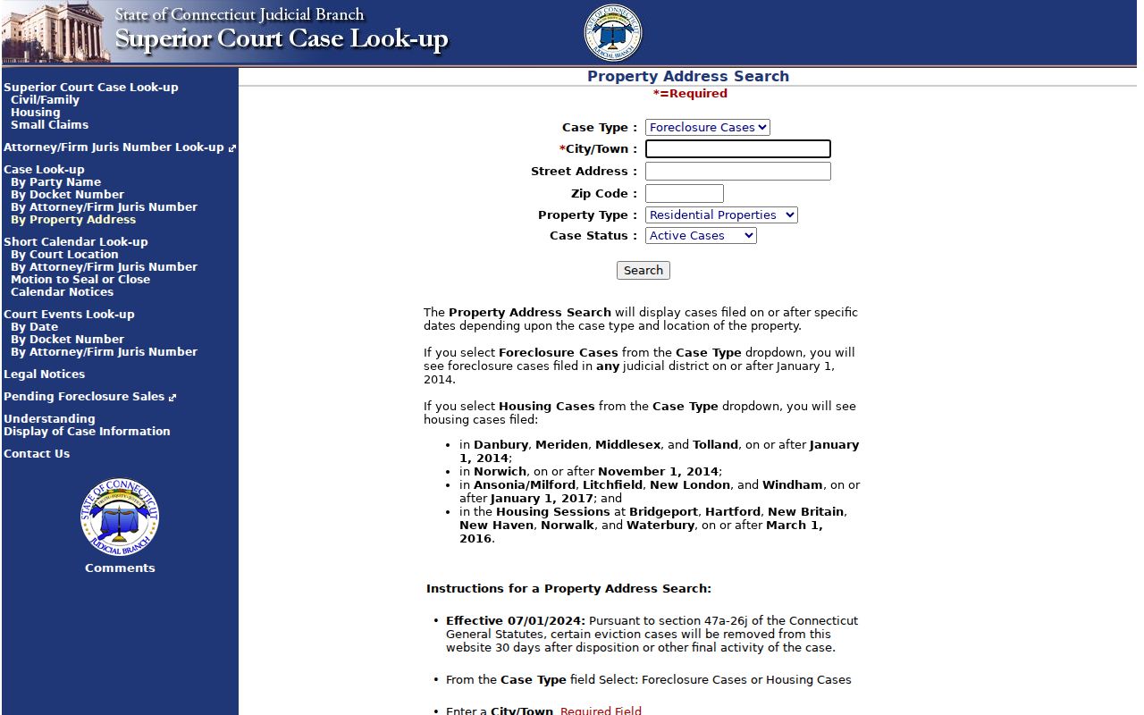
A court address result is a case index event. It should be kept apart from the parcel card, voter geography, and deed chain.
East Haven Street Permits and Tax Bills
Permit history can explain a change in a building without proving who lived there. The sample 60 Brown Road card lists 2017-2018 electrical, heating, propane, stairwell, chimney, fireplace, interior, and related work. For a specific address, start with the card’s permit entries, then ask the Building Department at 203-468-3216 or Planning and Zoning at 203-468-3280 about a record that is not posted. No live public code-case search was confirmed, so the office is the proper route for current scope and exemptions.
The tax portal accepts last name and first initial or business name, property number and street, bill year, type and number, account number, tax ID, Account ID, DBA, and balance status. It separates real estate, personal property, and motor-vehicle paths. A bill status can help locate the right account, but it is not a recorded deed or a statement about everyone connected with the address.
The East Haven Assessor forms page shows how mailing-address changes and exemptions are routed.
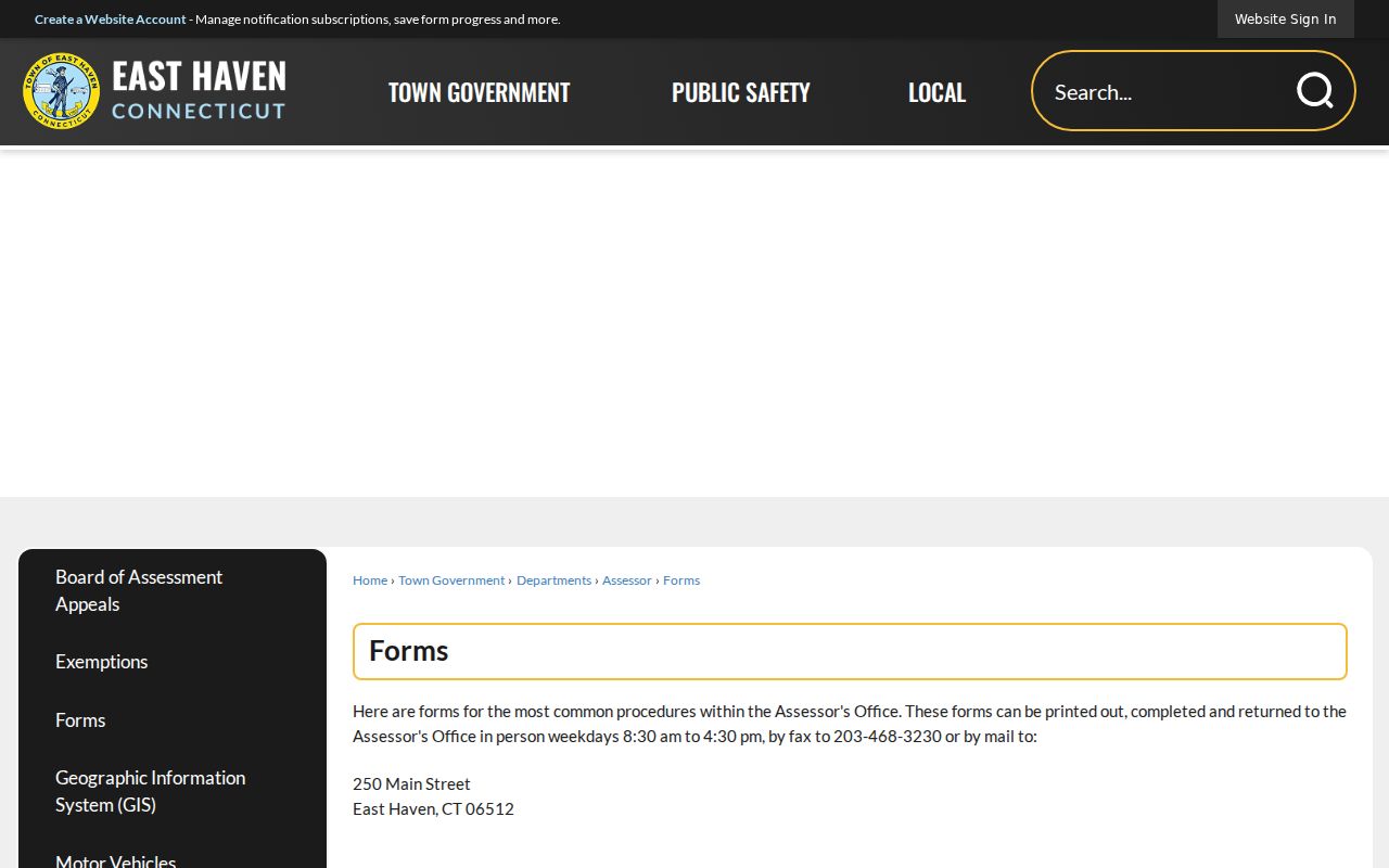
The form route is a useful reminder that some address fields need in-person verification and cannot be changed by an informal request.
East Haven Street ZIP Labels
Most East Haven town contacts use 06512, but official East Haven documents also use 06513 for places such as Deer Run School at 311 Foxon Road and 75 Redwood Drive Unit 505. USPS materials can display New Haven as the postal locality for 06513. The municipal situs remains a separate question. Do not reject an East Haven parcel because its postal city differs.
Use the USPS ZIP Code Lookup with the full street address, city, and state. Then compare the output with the Assessor card, GIS parcel, and Town Clerk legal description. A historical directory may print an older label, while an old deed may omit a ZIP. The best street record keeps all of those values and names the authority behind each one.
Foxon, Center, Momauguin, Cosey Beach, and shoreline are useful search terms for newspapers, directories, maps, and civic history. They are not replacements for the street number, MBL, unique ID, or legal description.
East Haven Street Names Need a Key
East Haven’s boundary history can make an old address hard to recognize. The town was established in 1785 and ceded Fair Haven, Granniss Corners, and Morris Cove to New Haven in 1881. Historical directories, newspapers, and community notices may use New Haven, Foxon, Momauguin, or another local label even when a modern parcel search begins with East Haven.
Pair a neighborhood word with a street, map, deed party, directory year, or library scan. The Historical Society lists the Green, Center, Momauguin/Cosey Beach, Foxon, schools, historic people, and Old Cemetery among its research themes. Hagaman can help locate microfilm, yearbooks, newspapers, obituary material, or physical directories. The full historical collection discussion belongs on the East Haven city directory page, where old address conventions can be read in their publication context.
This second-key habit also helps with same names. A middle initial, parcel key, venue, date, or family relationship is more useful than a similar spelling alone.
Limits of an East Haven Street Directory
A public address search does not reveal every person associated with a parcel. Household members, private utility customers, DMV address data, protected voter addresses, and many records tied to active investigations are not open as a street list. A mailing address can belong to an owner elsewhere. A current card can be stale. A historical directory can name a former household. Keep the limit beside the result.
Connecticut’s Address Confidentiality Program and Voter Privacy Program can remove or protect sensitive address information for eligible people. A public map buffer cannot override those rules. The safest alternative for a neighborhood or family-history question is parcel geography, a dated public record, a library source, or a custodian request that respects the record’s purpose.
Lawful use. East Haven street and address records may support personal, lawful research. Do not use them to stalk, harass, intimidate, or harm another person, and do not turn a public record into a campaign of repeated contact.