
East Haven Block Sources: One Address
A block lookup begins with the parcel at hand and then moves outward. Each source below describes a different part of the surrounding area. The GIS viewer shows geometry and map layers. Assessor cards identify taxable parcels. The Town Clerk index records transfers and legal descriptions. Election materials show polling geography. Historical and civic sources can add dated names or organizations without becoming a list of every person nearby.
| Source | What it shows about a block | Access |
|---|---|---|
| East Haven GIS | Adjacent parcels, MBL/unique ID, zoning, aerials, flood and environmental layers | Interactive public map |
| Assessor card | Parcel owner, situs, value, building, sale and permit summary | Property Record Cards and office |
| Town Clerk land records | Deeds, maps, mortgages, releases, liens, grantors and grantees | SearchIQS, vault, copy route |
| Voter geography | Street ranges, polling place, voting district and public lookup purpose | State lookup, town PDFs, Registrar |
| Historical sources | Past address snapshots, neighborhood names, notices and local events | Library, Historical Society, archives |
| Civic organizations | Public meeting notices, business or community contacts | Organization pages and dated publications |
The result is a block profile, not a people roster. Preserve the address, parcel key, layer date, record date, and source purpose. That practice prevents a tax name, historical directory line, or civic contact from being presented as a current neighbor.
Map East Haven Neighbors With Adjacent Parcels
The East Haven interactive GIS map provides the clearest block workflow. Search the target by name, house number, street, MBL, or unique ID. Zoom until parcel lines and labels are clear. Select the target, open parcel information when available, and record the identifier. Then select the touching parcels one at a time or use Multi Select. A buffer can frame an area, but it does not decide which parcels are legally adjacent.
- Confirm the target street, number, ZIP, MBL, and unique ID in the portal or assessor card.
- Open the parcel map and note the map date before comparing nearby polygons.
- Select adjacent parcels, saving each MBL or unique ID rather than only a screenshot.
- Open each matching Property Record Card and separate situs, owner, mailing, and building fields.
- Use the Town Clerk index, civic pages, or historical sources only when their record purpose fits the question.
The map supports print, measure, buffer, draw, text, and PDF tools. It reports parcel maps updated in June 2025, property information updated nightly, and roughly 11,310 parcels. The live parcel popup was not exposed in the text research capture, so verify the current click-to-card sequence on the map itself.
The interactive parcel layer is useful for seeing how the block sits within East Haven’s larger geography.
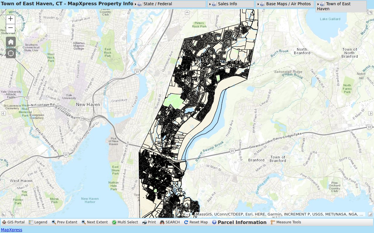
A map image shows the spatial frame, while the saved parcel key lets the block search be checked against the assessor and deed systems.
East Haven Neighbors Through Parcel IDs
Every nearby parcel should be tracked by more than a street number. East Haven’s Property Record Cards and GIS use MBL and unique identifiers. The assessor result for 60 Brown Road, for example, uses MBL 110 1125 004 and unique ID M0015060. Those keys connect a card, map, sale history, permit summary, tax context, and recorded volume/page. A neighbor search that keeps only a name or street can mix two parcels or miss an older legal description.
The Town Clerk’s deed index may use a grantor, grantee, book/page, instrument number, map, lot, or legal description. The tax portal uses account, tax ID, bill type, and status. GIS adds geometry and layers. Keep these fields side by side, and describe what each source proves. An assessor name is a tax association. A deed party is a recorded transaction participant. Neither field is a complete list of people in the building.
- MBL
- East Haven’s municipal block and lot key for joining parcel records.
- Unique ID
- A parcel-specific identifier used by the card and GIS systems.
- Adjacent parcel
- Land that touches or borders the target geometry on the map.
- Buffer
- A mapped distance around a point or shape, not a legal definition of a neighbor.
Note: An adjacent parcel is a map relationship, not proof of a shared household, contact, or current occupant.
East Haven Land Layers and Health
GIS can add land context to a block. Available layers include zoning, easements, recreation areas, spot elevations, utility poles, sales by Grand List Year 2021 through 2025, aerials from 1934 through 2023, original tax maps, FEMA flood information, and Connecticut DEEP environmental, soil, water, drainage, basin, and natural-diversity layers. These layers explain place and land use. They do not identify every person who uses or visits a parcel.
East Shore District Health Department serves Branford, East Haven, and North Branford. Its environmental services cover food establishments, temporary events, body-care establishments, pools, beaches, childcare facilities, and environmental systems. A health record can describe a permitted business or inspection route, not a neighborhood household. Ask the district for a specific record when the public page does not show an address result.
The East Shore District Health environmental-services page gives the regional scope.
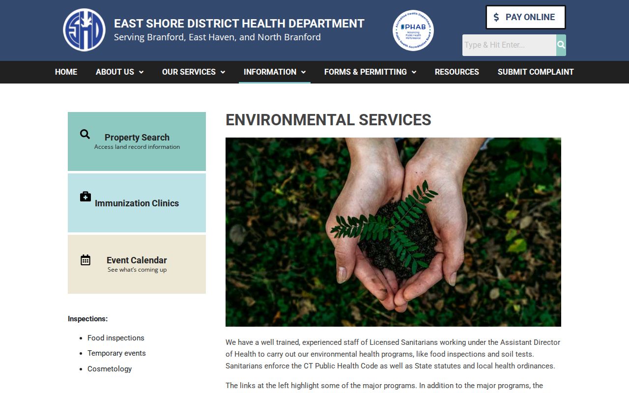
Environmental layers and regional records help explain a block’s setting while keeping private customer and household information out of the search.
East Haven Neighbors Need Separate Block Labels
The same block can appear in several public systems. A current card can show an assessed owner, sale, building, and permit summary. A deed can show a transfer or lien. The civil property search can show a qualifying case event and address filter. A town archive can place a board, report, or public notice in time. The Registrar’s street PDF can show which address range belongs to a polling district.
For a block profile, keep the following distinctions in the note: parcel versus person, owner versus occupant, map layer versus legal boundary, postal locality versus town, and historical mention versus current record. A block search has value when it makes these differences clear, not when it flattens them into a list.
East Haven Neighbors and Voter Geography
The state voter lookup serves a narrow purpose: checking registration status, party affiliation, and polling information for an individual. East Haven’s Registrar maintains the Official Voters List, annual canvass, election statistics, poll strips, sample ballots, and moderator returns. The Voting Districts by Street PDF maps street and address ranges to a polling place and district. It does not create a public block roster.
Month and day of birth are protected from public voter information, and qualifying access to the full statewide file requires a written request, $300, and an election-related, scholarly, journalistic, political, or governmental purpose. The request form bars private or commercial use, harassment, advertising, solicitation, sale, and marketing. Voter Privacy under Conn. Gen. Stat. § 9-50(d) can protect an eligible person’s official registry address. Do not use a public polling result to infer who is present at every nearby parcel.
The Connecticut Voter Privacy Program explains the protection and its limits.
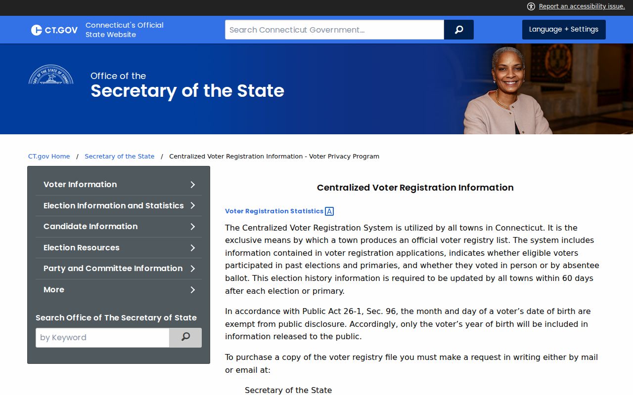
The privacy program is a reminder that block geography and lawful voter research are not the same as publishing a list of nearby people.
Note: Voter geography can assign a polling district without exposing a public list of households on the block.
Momauguin-Cosey Beach Neighbors and Community
Community organizations can add local knowledge without exposing a private member roster. The Momauguin-Cosey Beach Neighborhood Group was established in 2015, serves the Cosey Beach and Momauguin area, meets the second Wednesday at 6:30 p.m. at the Beach House, and uses email or Facebook notices. The inspected page did not show a public member directory. That absence is useful information: a meeting notice is a contact route, not a list of nearby households.
The East Haven Chamber publishes a dated digital directory and an annual household mailer that lists member businesses and community resources. Rotary, American Legion Post 89, the Old Cemetery, school and civic groups, and town boards can provide event or organization history. Their public contacts should be used for the organization’s stated purpose, not converted into a personal block file.
The Momauguin-Cosey Beach Neighborhood Group page is the source for its meeting and contact notices.
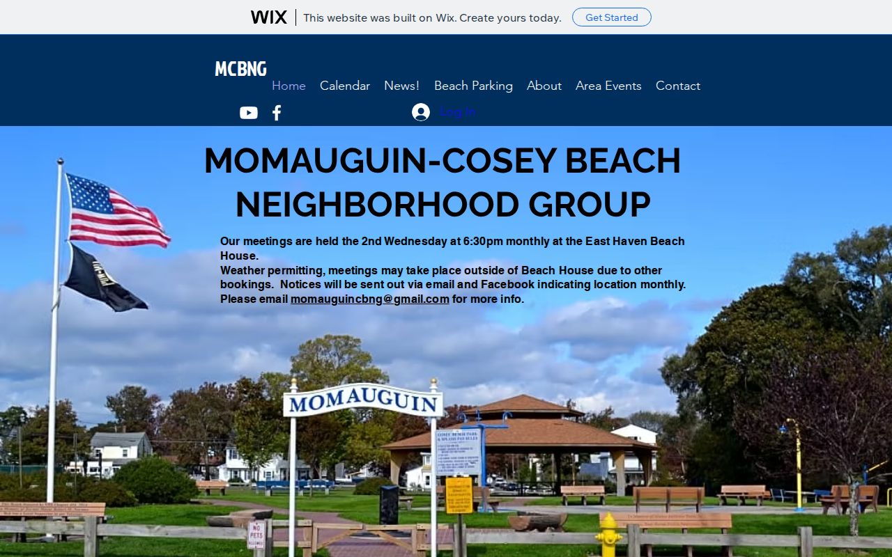
A named local group can help explain a place and its civic history while respecting the boundary around unpublished members.
East Haven Civic Archives and Blocks
The East Haven municipal archive can be searched by keyword, category, relative period, start date, and end date. Its PDFs include budgets, board schedules, Chief’s Reports, police annual reports, weekly arrest logs, press releases, audits, and financial reports. A named person in an official report may establish a civic role or dated event, but the archive is not a list of everyone living near a parcel.
The department directory routes questions to Building, Planning and Zoning, Tax, Police, Assessor, Registrar, Town Clerk, and other offices. Use the custodian tied to the record. Hagaman and the Historical Society add newspapers, directories, photographs, school material, cemetery themes, and neighborhood vocabulary. A phone or email check before a visit can reveal whether a local collection is on site, digitized, or restricted.
The East Haven archive search is a practical source for dated public reports.
Archive material can place a block in a civic timeline, but the document date and source type should remain attached to the name.
Historical East Haven Neighbors and Place Names
Past households may appear in directories, newspapers, cemetery notes, school photographs, local histories, and deeds. East Haven News scans from 1939, 1946, 1951, and 1952 show names, permits, annual reports, meetings, and community references. The Historical Society’s themes include the Green, Center, Foxon, Momauguin/Cosey Beach, schools, historic people, and Old Cemetery. These sources supply place language that helps a researcher interpret an old address.
Pair a historical name with an address, date, family relationship, deed, directory edition, or probate case. East Haven’s 1785 incorporation and the 1881 cession of Fair Haven, Granniss Corners, and Morris Cove to New Haven can explain why a newspaper or directory uses a New Haven label. For a full street chain, use the East Haven street directory workflow and retain the parcel key.
An old neighborhood label is a clue, not a parcel boundary. The map, deed, or library finding aid should settle the connection.
East Haven Neighbor: Map Buffers Have Limits
GIS adjacency and a commercial neighbor tool answer different questions. The map shows a public spatial relationship and can be checked against the parcel layer. A commercial service may combine filings, directory data, and other licensed or supplied material with an unclear update path. Both can contain stale or mixed identities. The named custodian and parcel key are stronger anchors than an unverified compiled profile.
| Question | Official block route | Compiled people-search category |
|---|---|---|
| What touches the parcel? | GIS geometry, parcel selection, MBL and map date | May infer proximity from mixed data |
| Who is tied to land? | Assessor card and Town Clerk deed index | May duplicate or misread owner data |
| How is a correction made? | Contact the named custodian | Suppression may hide a result without changing the source |
Use a map buffer for a research boundary, not as permission to contact people or as proof that two households know each other. A block profile should describe parcels, layers, dates, and public organizations with restraint.
Note: A commercial compiled profile cannot replace a named custodian, dated source, or parcel identifier.
Privacy Limits Around East Haven Neighbors
A block search cannot reveal every household member, private utility customer, DMV address, protected voter, or record hidden by a statute, seal, redaction, or active-investigation rule. An assessor owner may not occupy the parcel. A civic group can publish a meeting time without publishing its members. A historical newspaper can contain an error. Keep the source’s purpose and date visible.
Connecticut’s Address Confidentiality Program and Voter Privacy Program can protect eligible people. Vital records, court files, police reports, and other agencies have their own eligibility rules. If a record seems wrong, contact the custodian with the exact URL, date, and field in question. Do not build a hidden address from fragments that a protection program is designed to conceal.
Lawful personal use. East Haven neighbor and parcel records may support genealogy, civic research, and ordinary personal curiosity. Do not use them to stalk, harass, intimidate, or harm another person.